Bookstore Glossary Library Links News Publications Timeline Virtual Israel Experience
Anti-Semitism Biography History Holocaust Israel Israel Education Myths & Facts Politics Religion Travel US & Israel Vital Stats Women
donate subscribe Contact About Home

Des Hayes Map of Ancient Jerusalem

(1621)
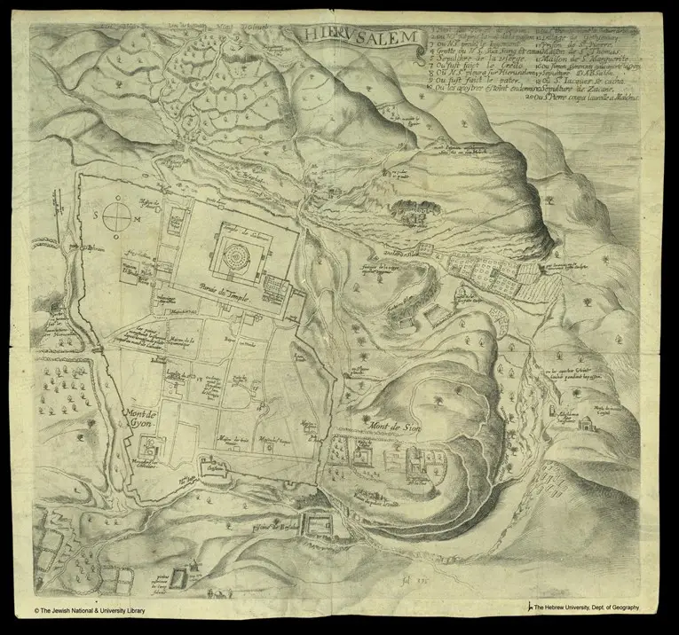
This map was published in a book in 1621, and made by a French diplomat from the court of King Louis XIV named Des Hayes.  This map is relatively accurate to reality, and is notable for it's view of the city from above.  All sites on the map are presented with their Christian names.  


Source: National Library of Israel